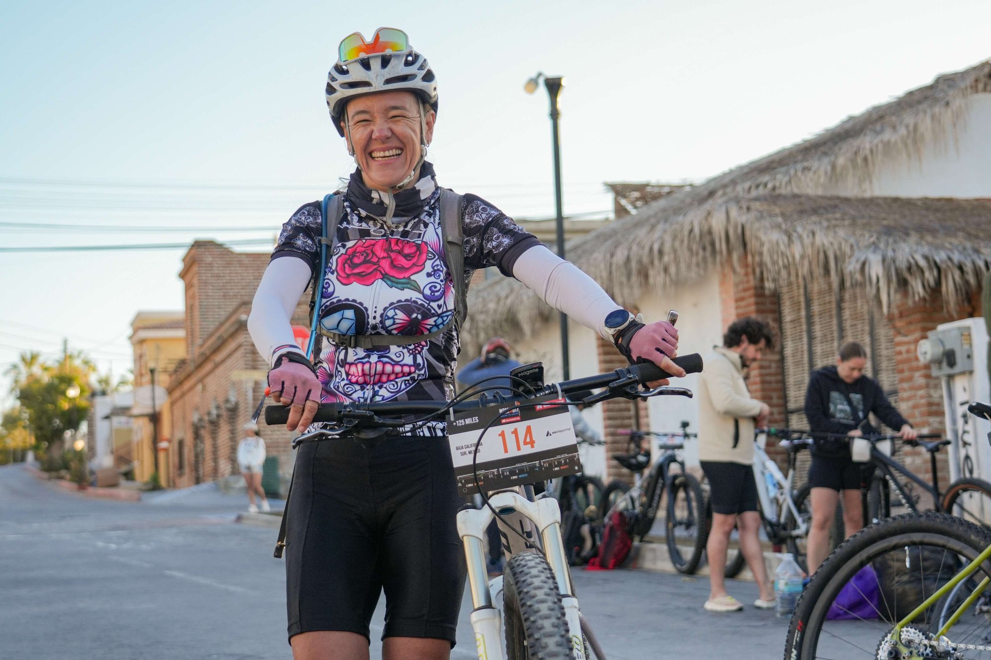
Inside the adventure
This is where the adventure gets real. Get the full breakdown: routes, support, gear & life at the camp.
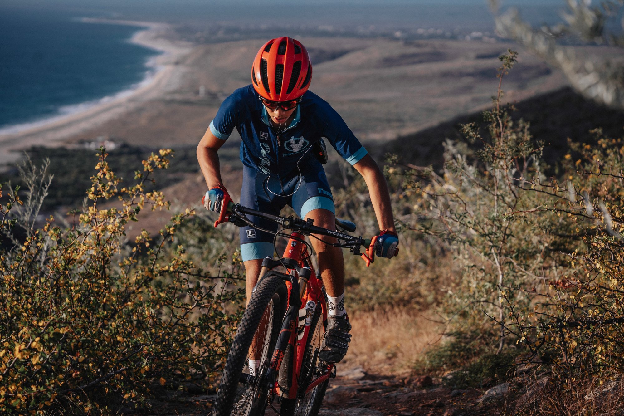
Everything you need to know to ride smart, stay safe, and thrive.
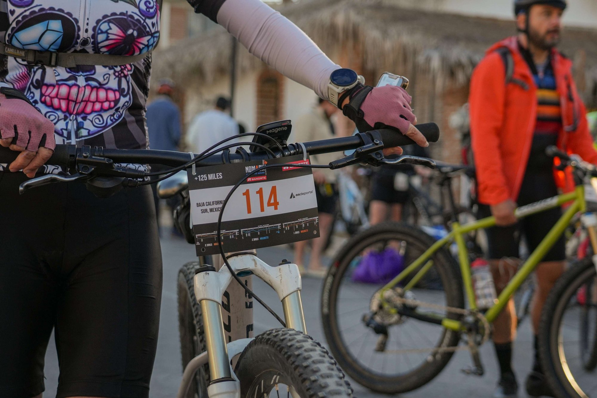
The Route Book
The Ocean to Ocean 2027 Route Book is coming soon. In the meantime, download the 2026 Race Book to discover everything about this adventure.
.jpg "NOMADIX-2026_Rutas (3)")
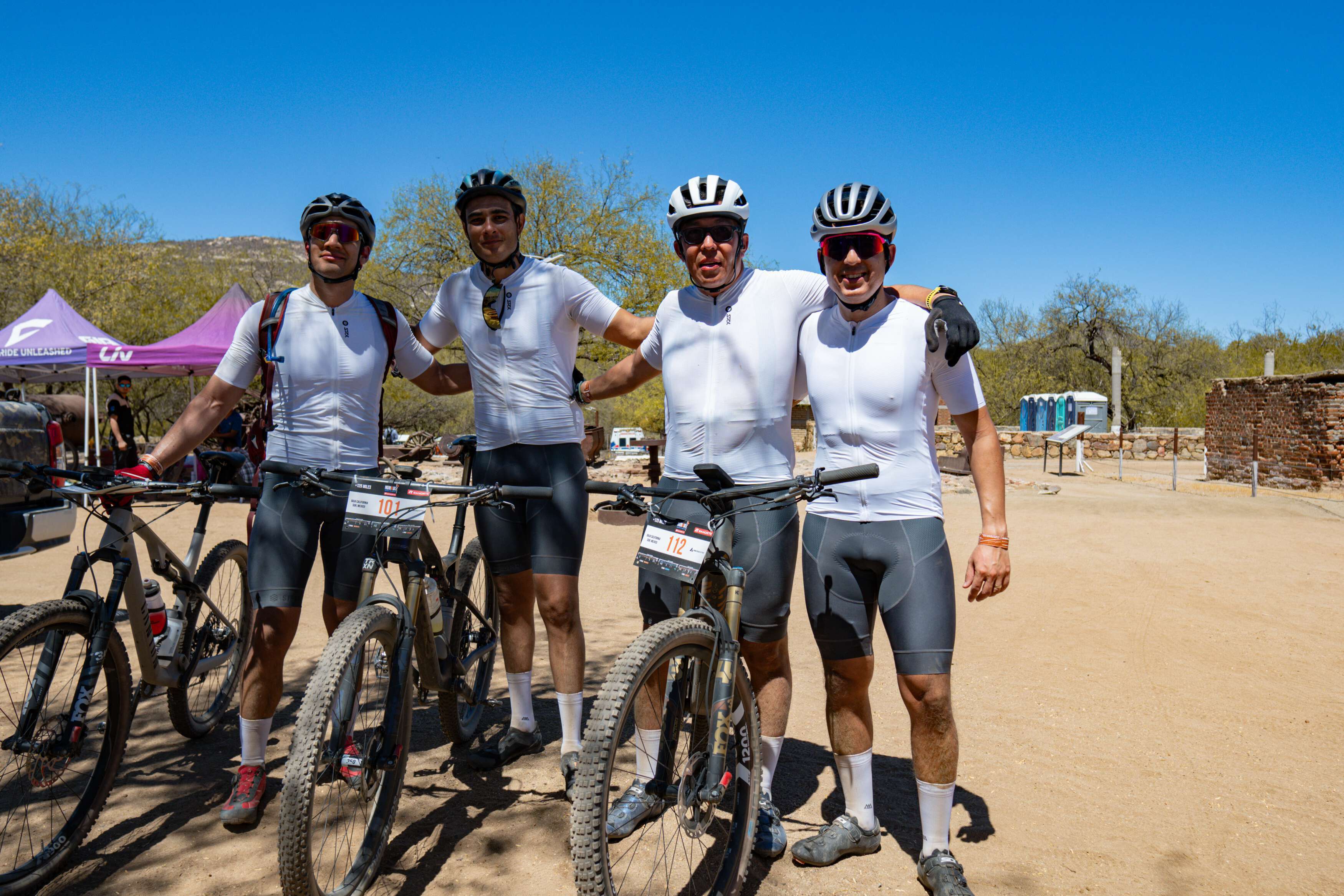
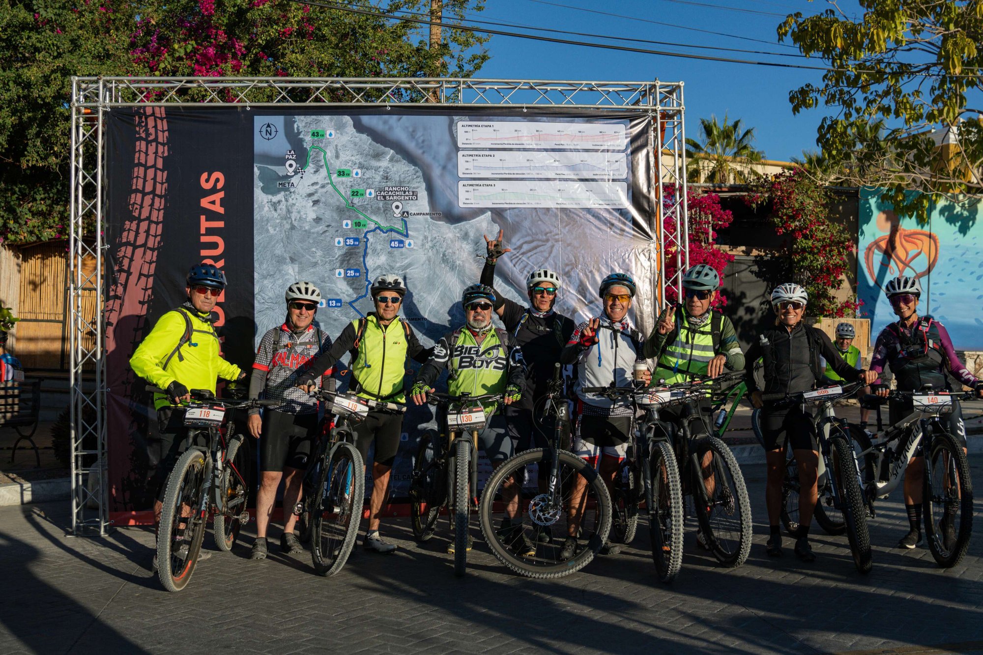
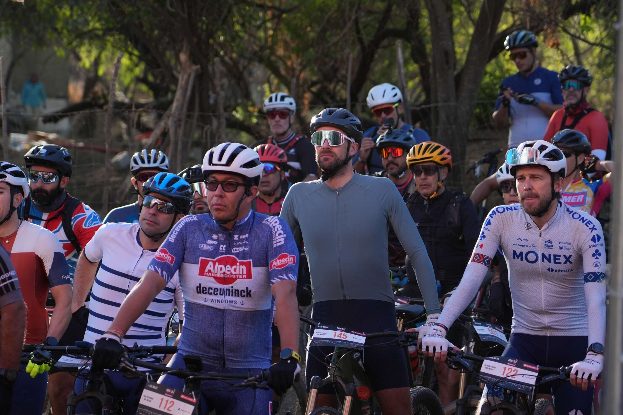
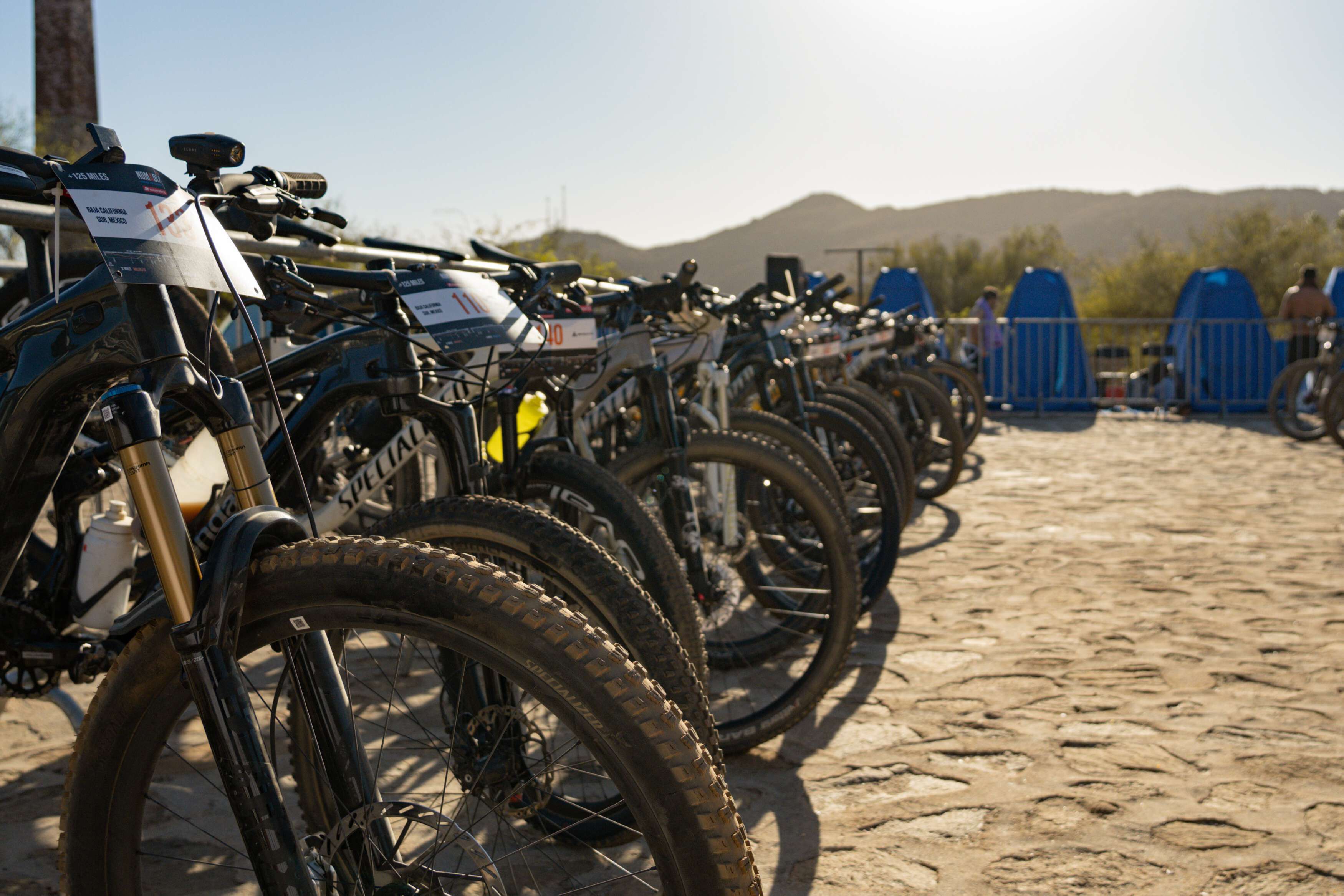
All-In from Day One
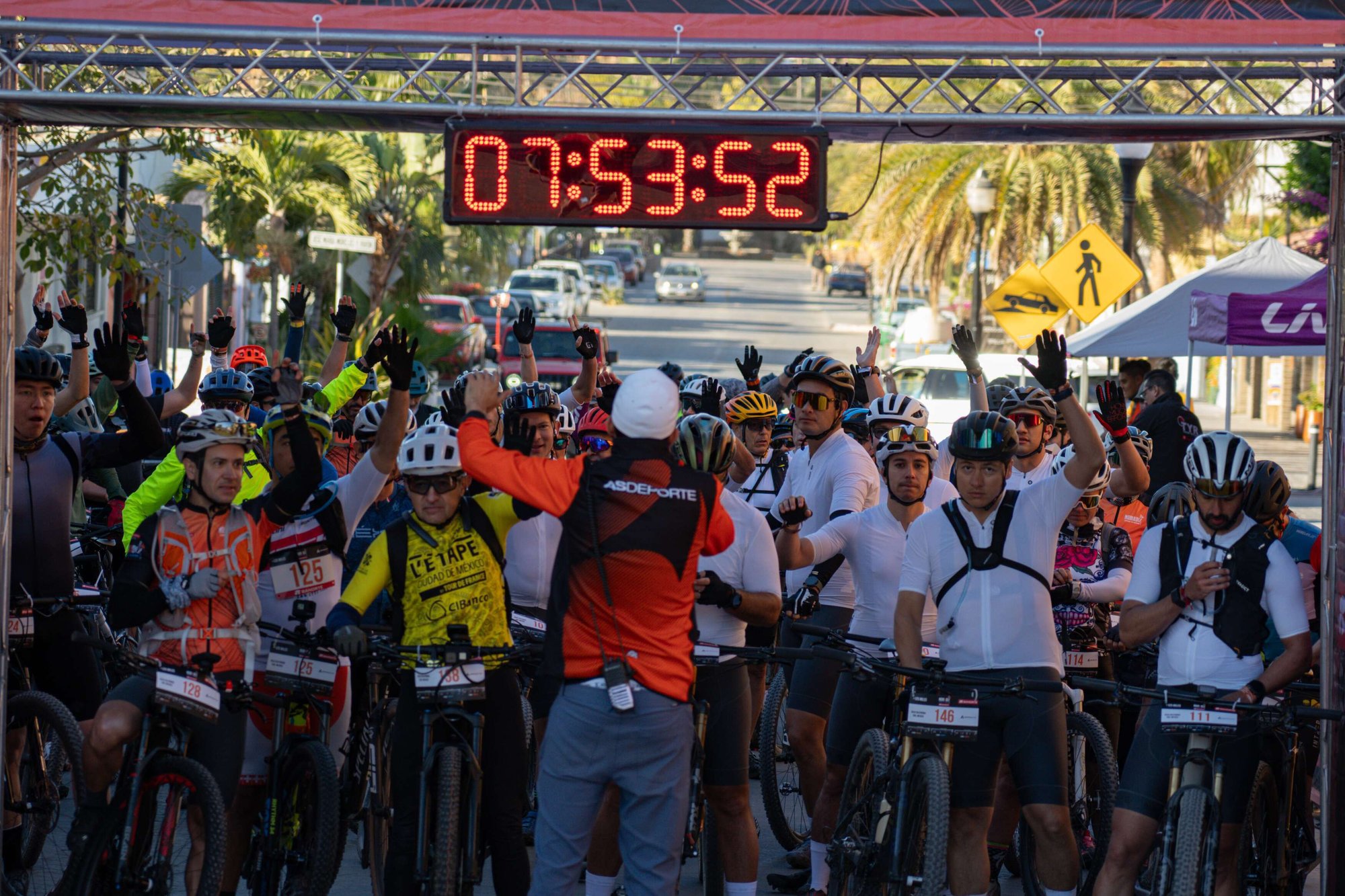
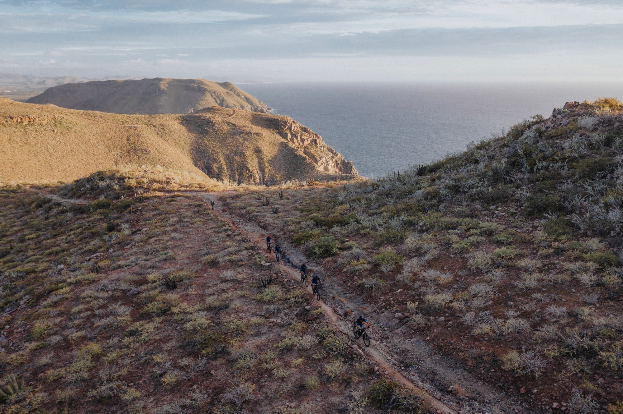
Stage 1 – From Pacific Trails to Desert Heights
Start your Nomadix adventure with an intense mix of flowy singletrack, desert climbs, and pure adrenaline. This is the longest day of the route and it sets the tone for the entire journey.
Overview
Stage 1 – Challenge from the Start
The first stage is packed with singletrack: technical, flowy, and seriously fun. With over 60 km, it’s the longest day of the entire event — a real test of your endurance and bike handling skills right from the beginning.
Quick Stats
Stage 1 Snapshot
.jpg?width=1200&height=1200&name=NOMADIX-2026_Rutas%20(3).jpg)
Elevation
Climbs & Descents
This is the official elevation profile for Stage 1. Riders will climb a total of 1,169 meters, reaching a maximum altitude of 565 meters above sea level. The route includes a variety of ascents and rolling terrain.

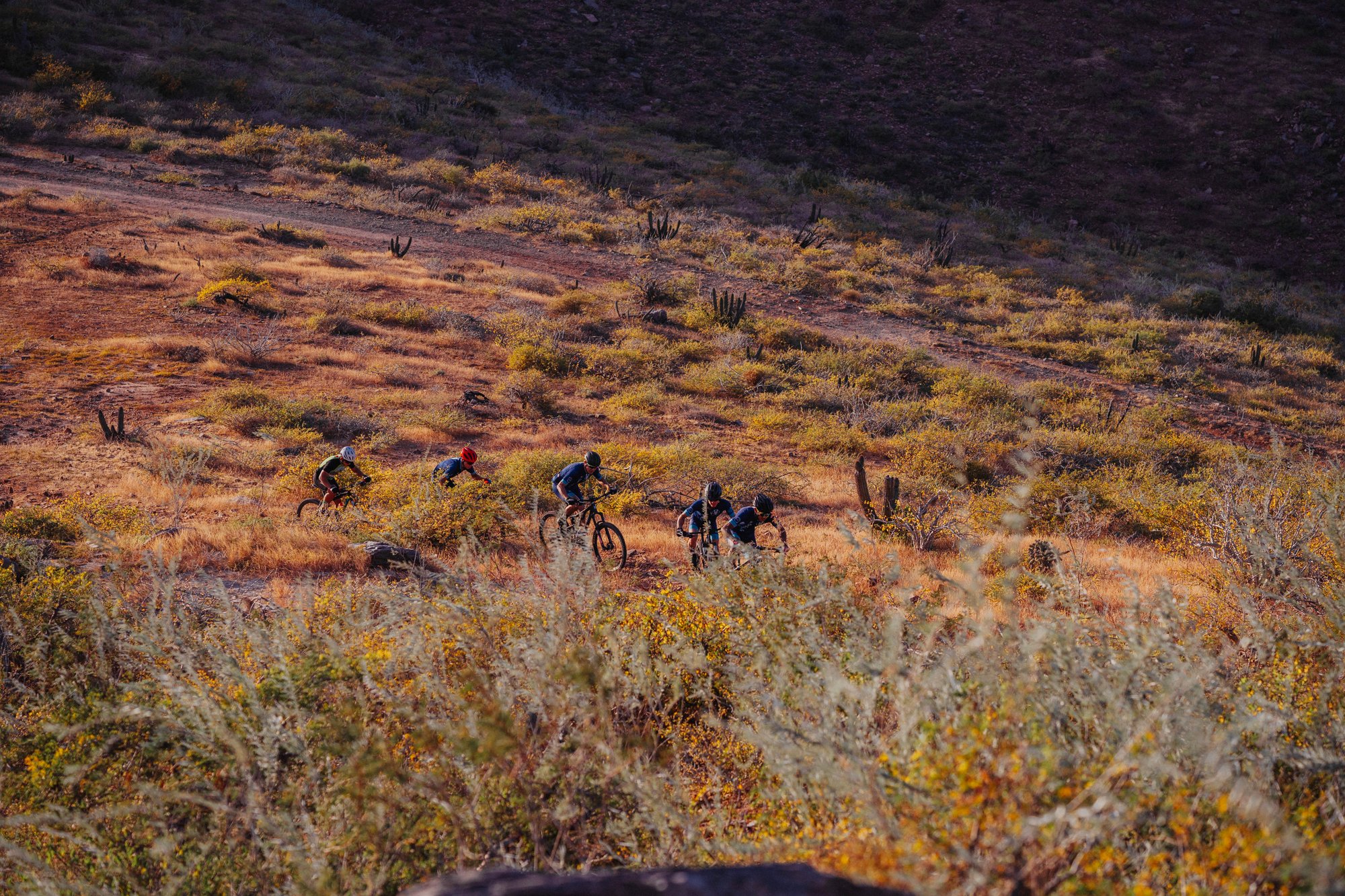
Terrain & Highlights
Terrain Features
One of the most iconic stretches includes a sandy section, perfect for pushing your limits in classic mountain conditions. You'll ride through wide open trails, cactus zones, and the legendary red dirt roads of Baja.
Expect stunning views, adrenaline, and total immersion in nature.
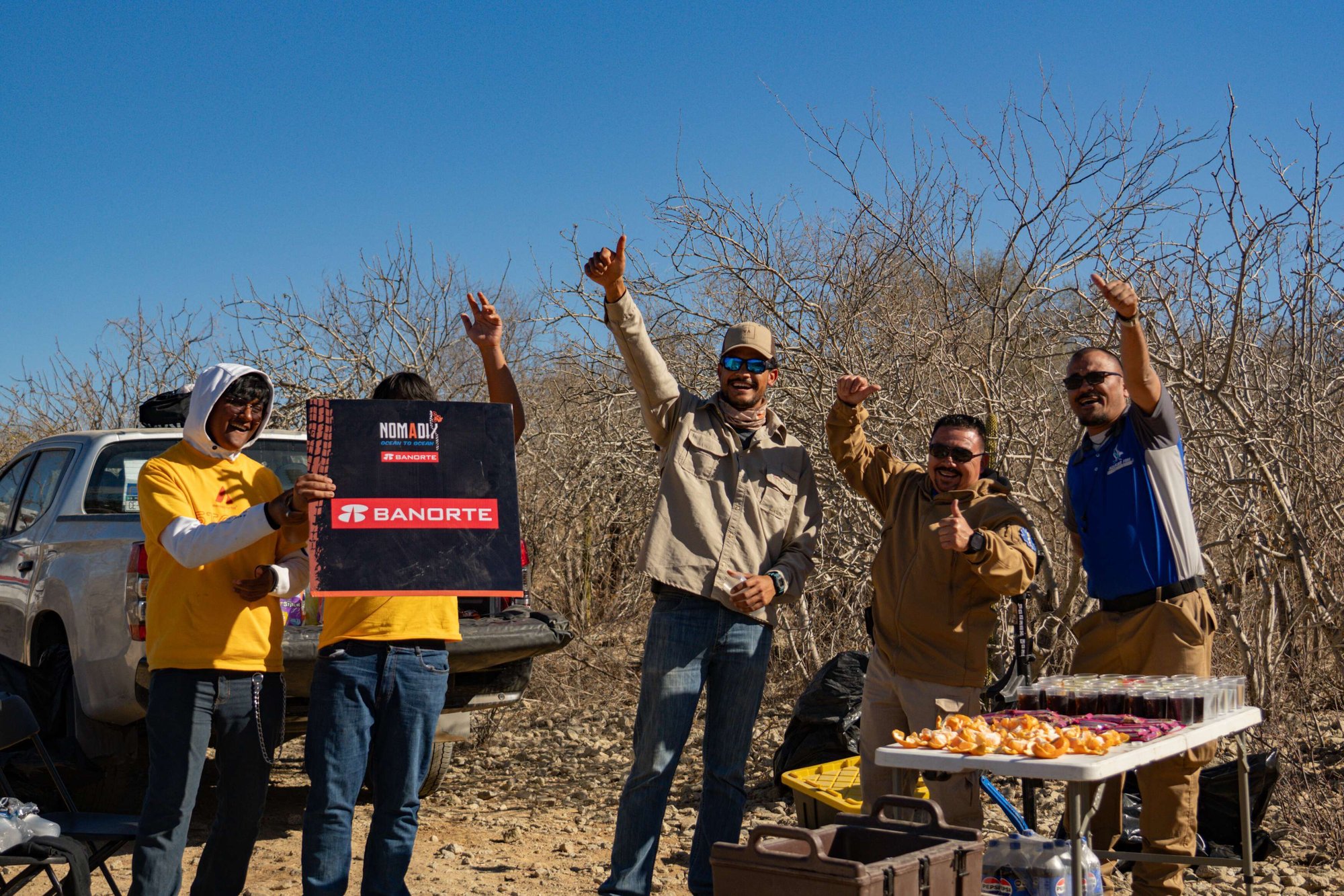
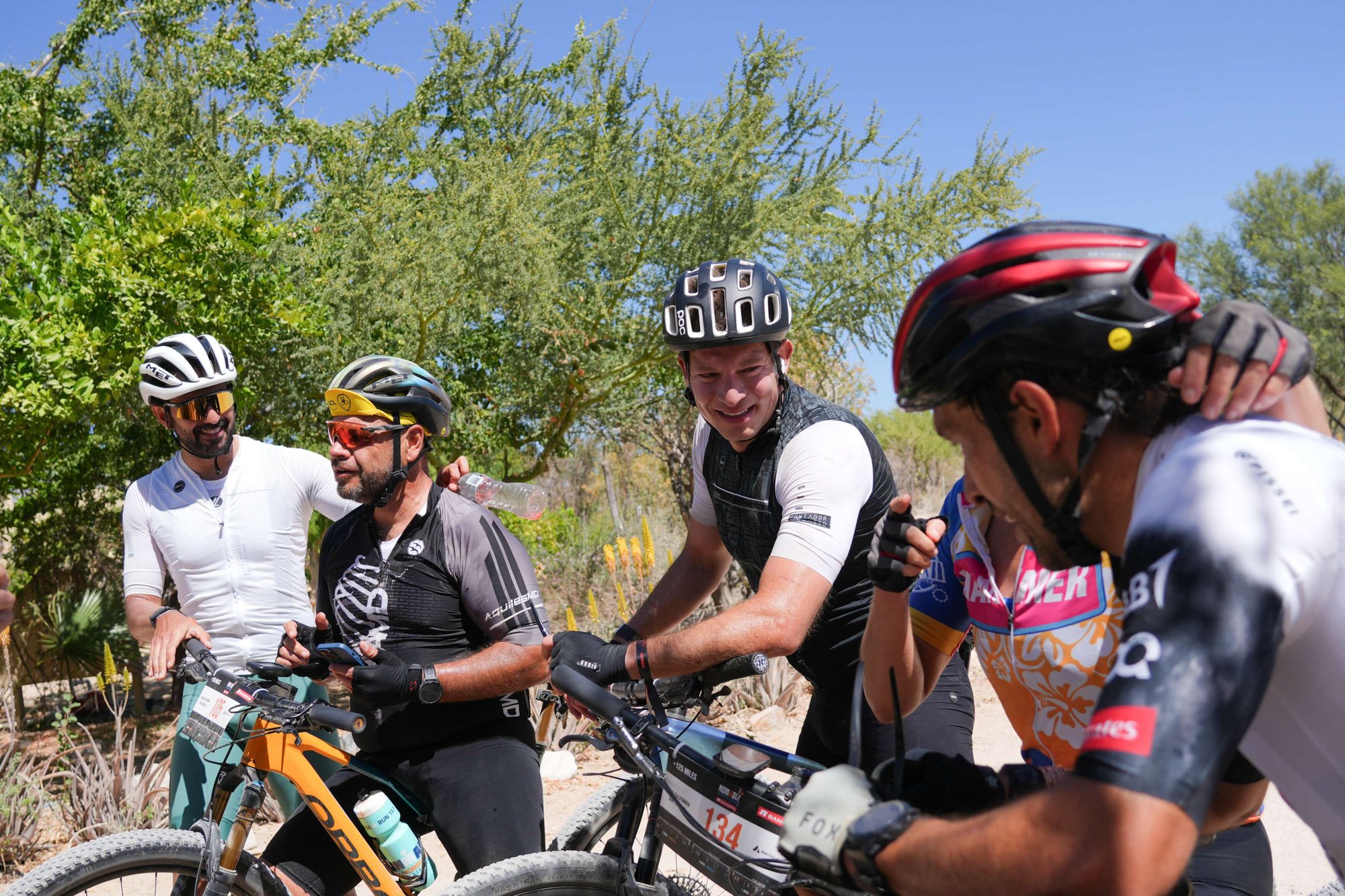
Checkpoints
5 Checkpoints Along the Route
✔ Grab energy food
✔ Get mechanical assistance
✔ Receive emergency medical help
Rider Tips
Ride Smart
✔ Eat early and often
✔ Save energy for the last kilometers
✔ Keep an eye on your GPS and pace
Camping Spot
Camp tents at El Triunfo
✔ Nutritious food & hydration stations
✔ Wi-Fi & charging zone
Celebrate your first achievement under the stars.
.jpg?width=2000&name=19800101_000000_13_80%20(1).jpg)
Weather
Weather Conditions
Make sure to use sunscreen, wear breathable clothing, and protect your eyes. The midday heat can challenge even the fittest riders.
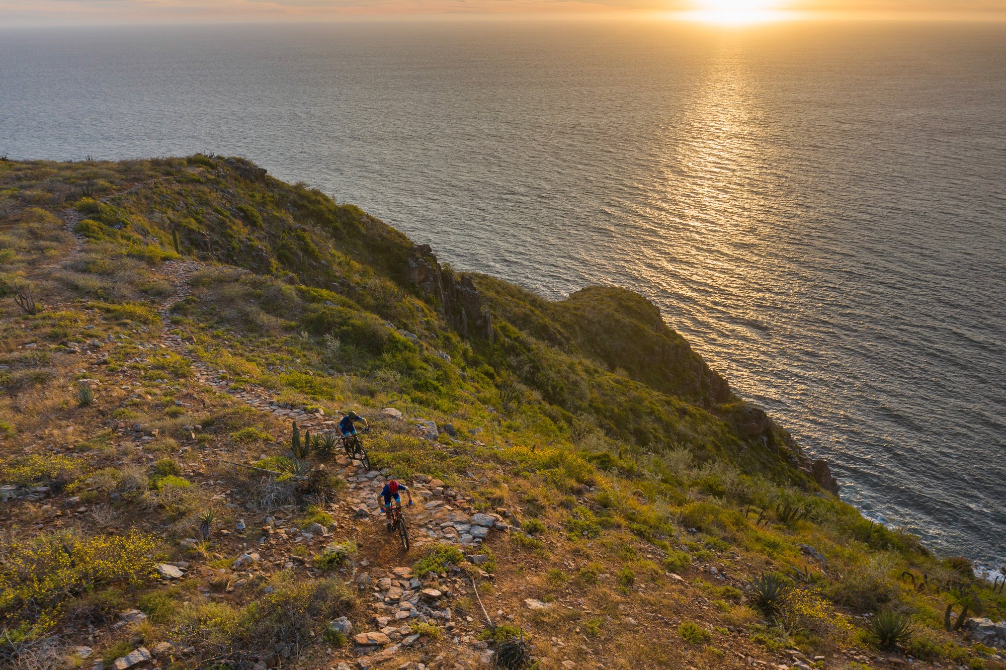
All-In again
Stage 2 – Rhythm and Precision
Pick up speed across flowing dirt tracks, sharp climbs, and strategic descents. This is the shortest day, but don’t let that fool you — smart pacing and technical skills will make the difference.
Overview
Stage 2 – Short but Strategic
The second stage is fast and technical, packed with hard-packed dirt trails and flowing singletrack that let you pick up the pace downhill while staying alert. You'll hit open roads for steady speed, and paved descents near the end offer a chance to breathe and enjoy the view. Watch out for natural “rollers” in the terrain — if used wisely, they can boost your distance and momentum. But caution: the final climbs can catch you off guard. Important: 5 km before the finish line, there’s a controlled crossing. Follow staff instructions carefully.
Quick Stats
Stage 2 Snapshot
Elevation
Climbs & Descents
This is the official elevation profile for Stage 2. Riders will climb a total of (TBD) meters, reaching a maximum altitude of 689 meters above sea level.

Terrain & Highlights
Terrain Features
Expect a mix of fast-flowing dirt tracks, technical “rollers,” and open road stretches for pacing. You’ll descend from the mountains toward the sea, where dry forest and coastal desert collide. The contrast in scenery and terrain makes this one of the most dynamic stages of the event.
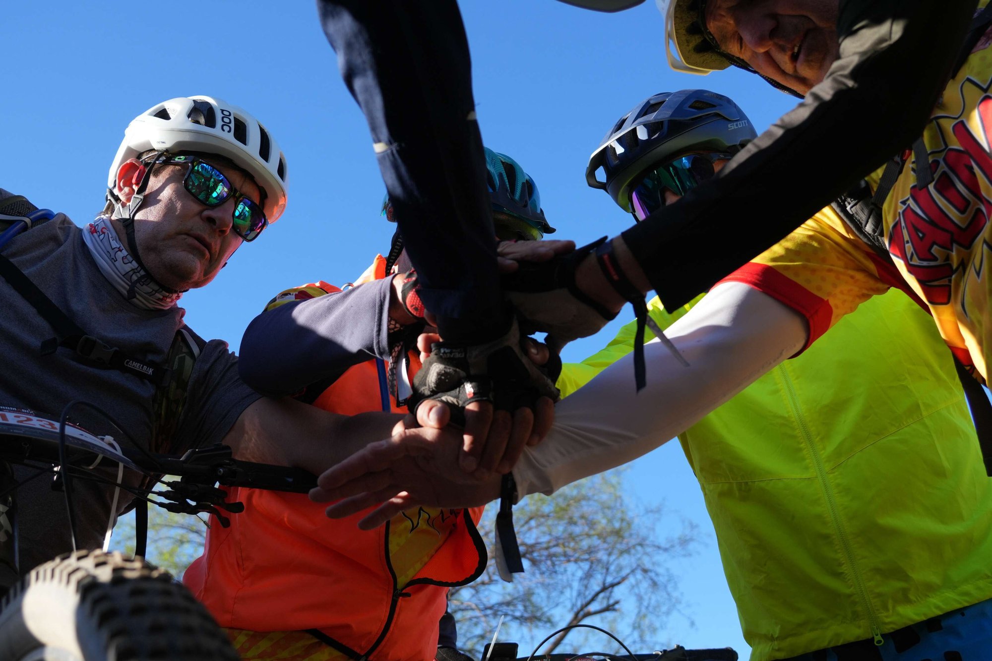
Checkpoints
4 Checkpoints Along the Route
There are 4 checkpoints along the course. Use them to:
✔ Refill hydration
✔ Grab snacks and gels
✔ Get basic mechanical help
✔ Ask for directions or assistance — they’re rhythm points that help you manage your ride.
Rider Tips
Ride Smart
✔ Eat early and often
✔ Save energy for the last kilometers
✔ Keep an eye on your GPS and pace
Camping Spot
Camp tents at El Sargento
Once you arrive at El Sargento, unwind at a stunning coastal camp. You'll find:
Recharge by the sea as you prepare for Stage 3.
Weather
Weather Conditions
Use sunscreen, hydrate early, and take advantage of shaded areas at rest stops.
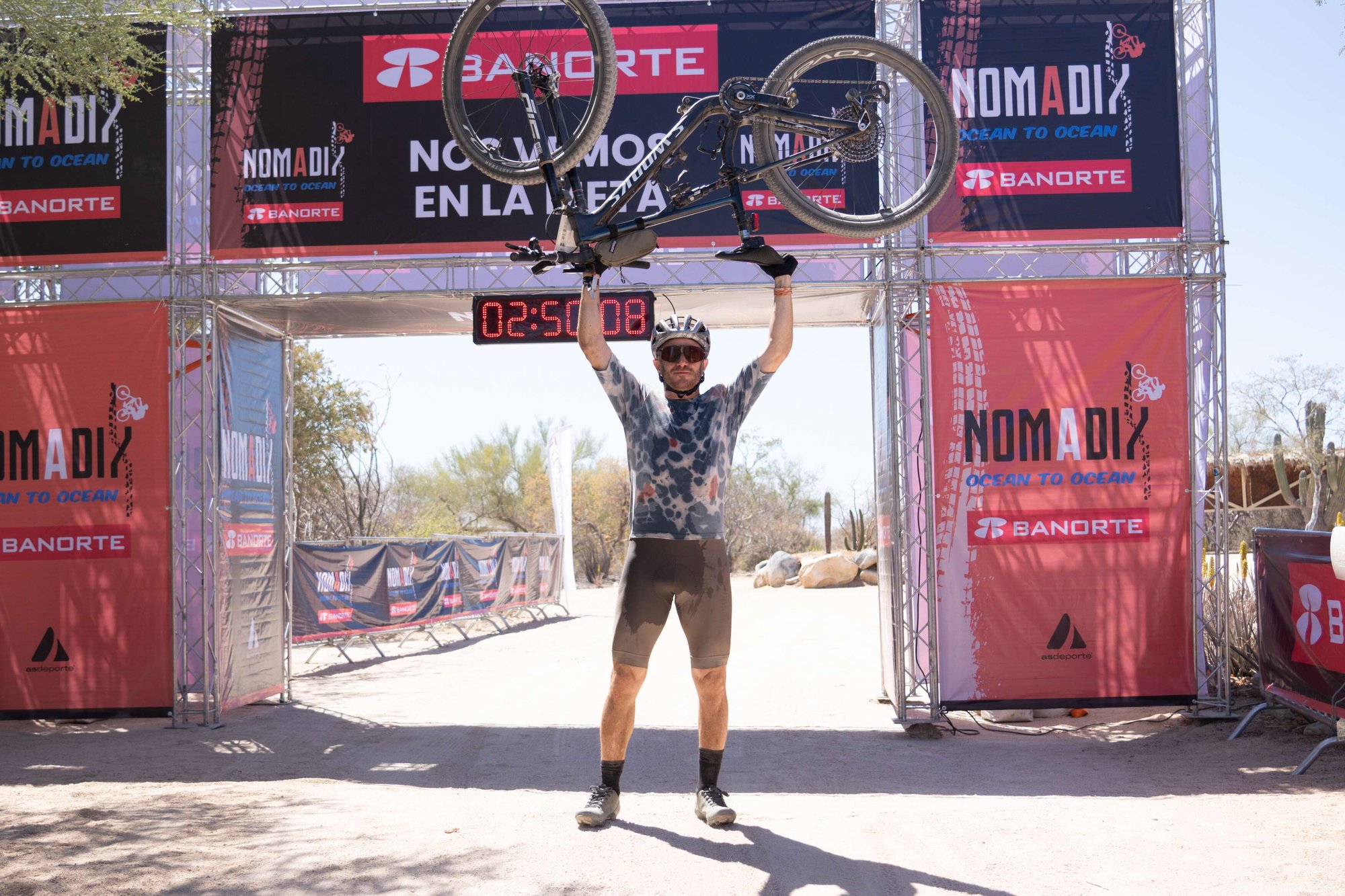
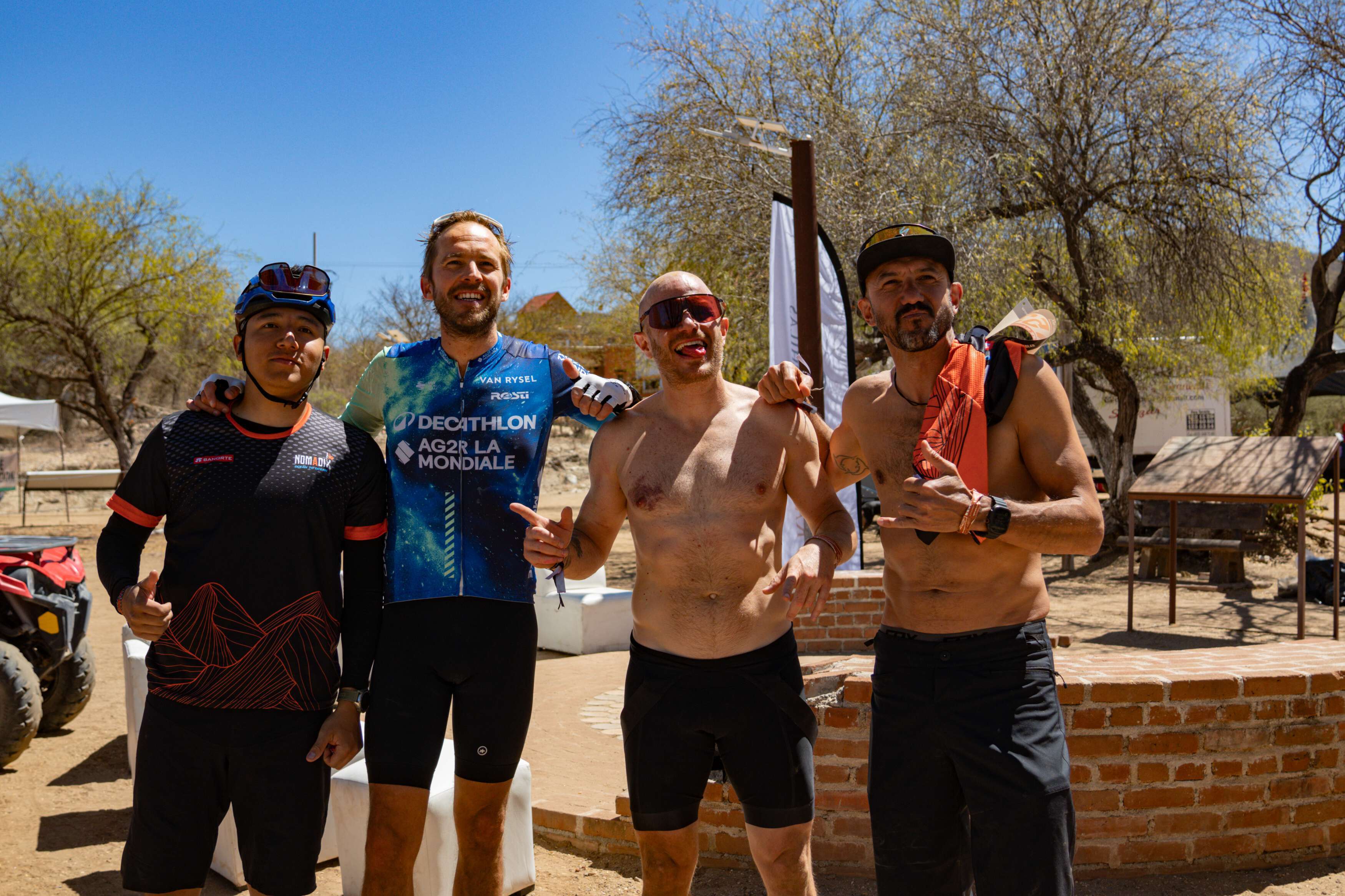
All-in to the Finish
Stage 3 – From Sargento to La Paz
Your final stage kicks off with a rugged drag into the Coyote trails, opening one last epic chapter in your adventure. Over 55 km of some of the country’s finest terrain await you — the perfect way to finish strong.
Overview
Stage 3 – The Grand Finale: Technique, Endurance & Mental Strength
This final stage begins with a drag up to the Coyote trails, where your last big adventure kicks off. You'll take on over 40 kilometers through some of the country’s best terrain — an epic closing chapter to an unforgettable journey.
%2012.jpg?width=2000&name=88-Captura%20de%20Pantalla%202020-01-23%20a%20la(s)%2012.jpg)
Quick Stats
Stage 3 Snapshot
Elevation
Climbs & Descents
Elevation profile and terrain details will be announced soon.

Terrain & Highlights
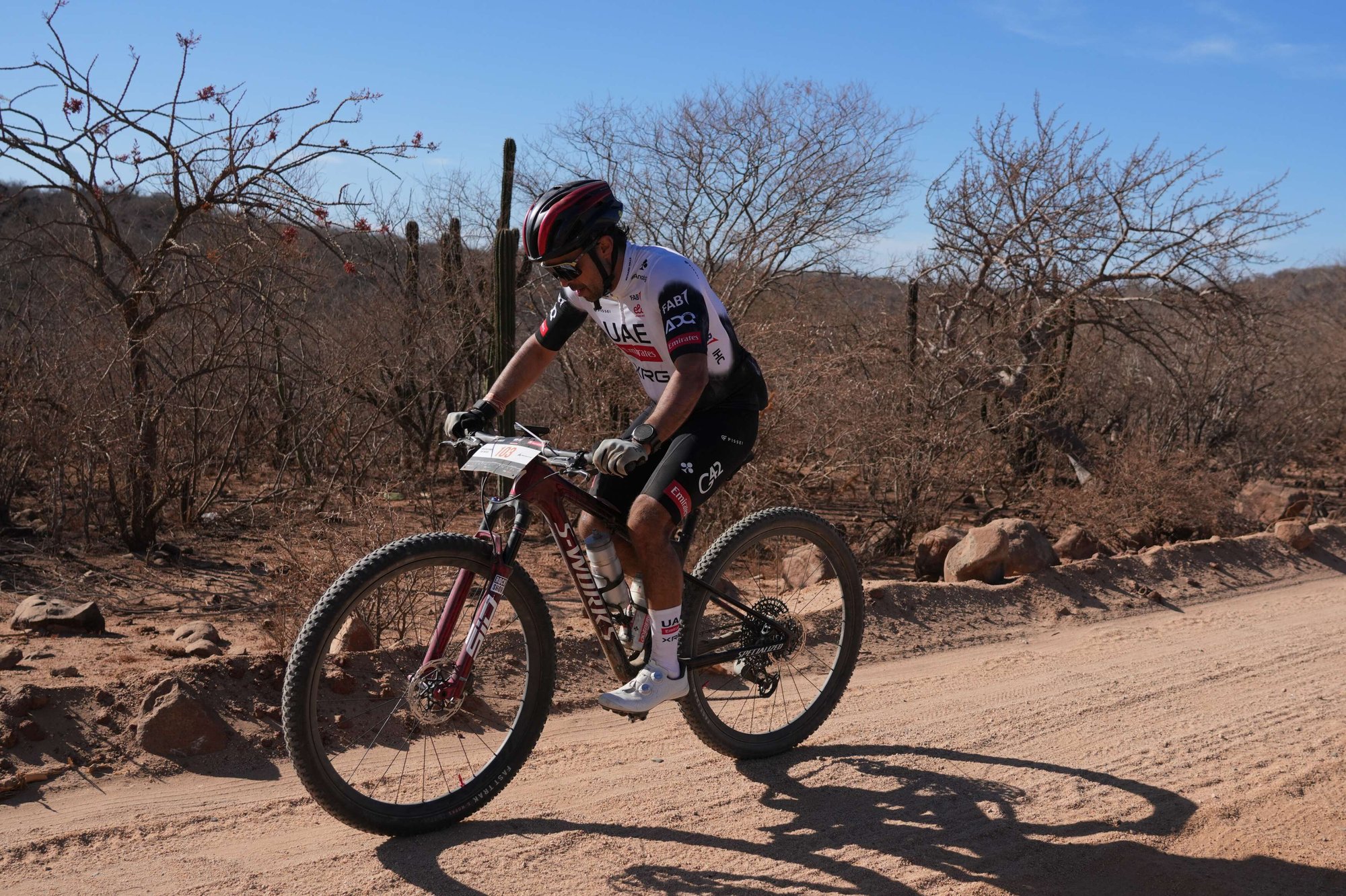
Terrain Features
Stage 3 kicks off at Rancho Cacachilas with a steep start that leads into rolling terrain and singletrack. The first section includes moderate climbs with some loose gravel, followed by open flowy descents. From kilometer 10, you’ll ride along a 15 km paved road section that tests your pacing and focus.
Around kilometer 36, you'll pass the Halcones Shooting Club, a visual reference before approaching one of the most technical sections: a dangerous descent at km 43 with deep sand traps — keep full control of your bike and stay alert.
As you approach the coast and enter urban terrain, you'll navigate through the streets of La Paz before crossing the final finish line at the iconic malecón.
Stay sharp — the terrain demands respect, but every meter brings you closer to the ultimate reward.
Checkpoints
3 Checkpoints Along the Route
There are 3 supply checkpoints during Stage 3:
- Checkpoint 1 – KM 5: Early hydration and support after the opening climb.
- Checkpoint 2 – KM 37: Mid-stage energy refill and mechanical check.
- Checkpoint 3 – KM 43: Critical safety support before the final sandy descent.
Each checkpoint offers water, snacks, mechanical help, and basic medical assistance. Use them wisely to manage your rhythm and performance.
%2012.jpg?width=2000&name=87-Captura%20de%20Pantalla%202020-01-23%20a%20la(s)%2012.jpg)
Rider Tips
Ride Smart
- ✔ Pace yourself early on — don’t burn out on the first descent.
- ✔ Stay sharp on the 15 km road section. There will be support, but attention is key.
- ✔ Pick your lines carefully in technical sections and keep your speed under control.
- ✔ Hydrate early and check in with your body often.
Weather
Weather Conditions
Protect your skin and hydrate often. The dry heat can be deceiving — stay alert and adjust your gear accordingly.
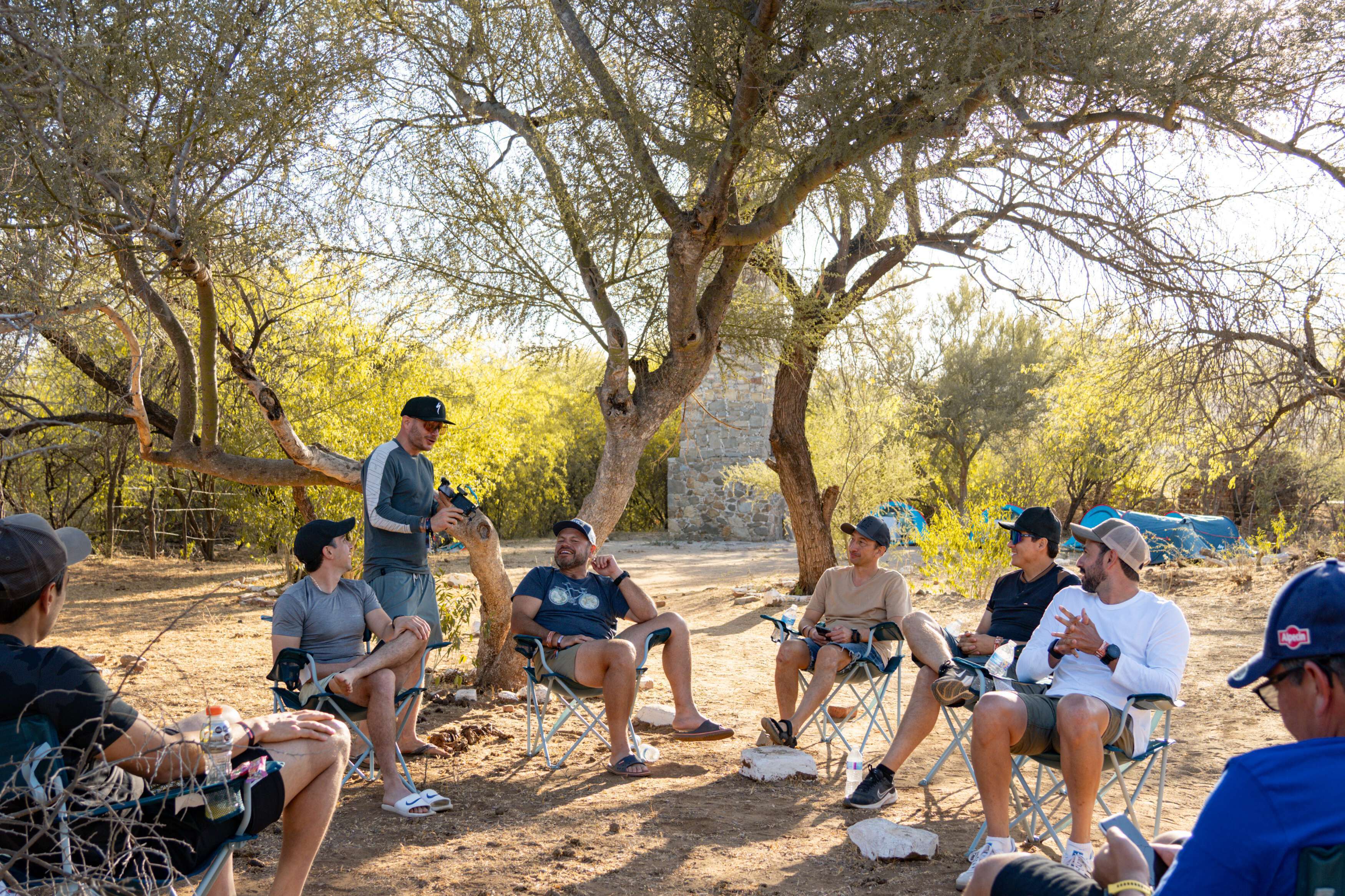
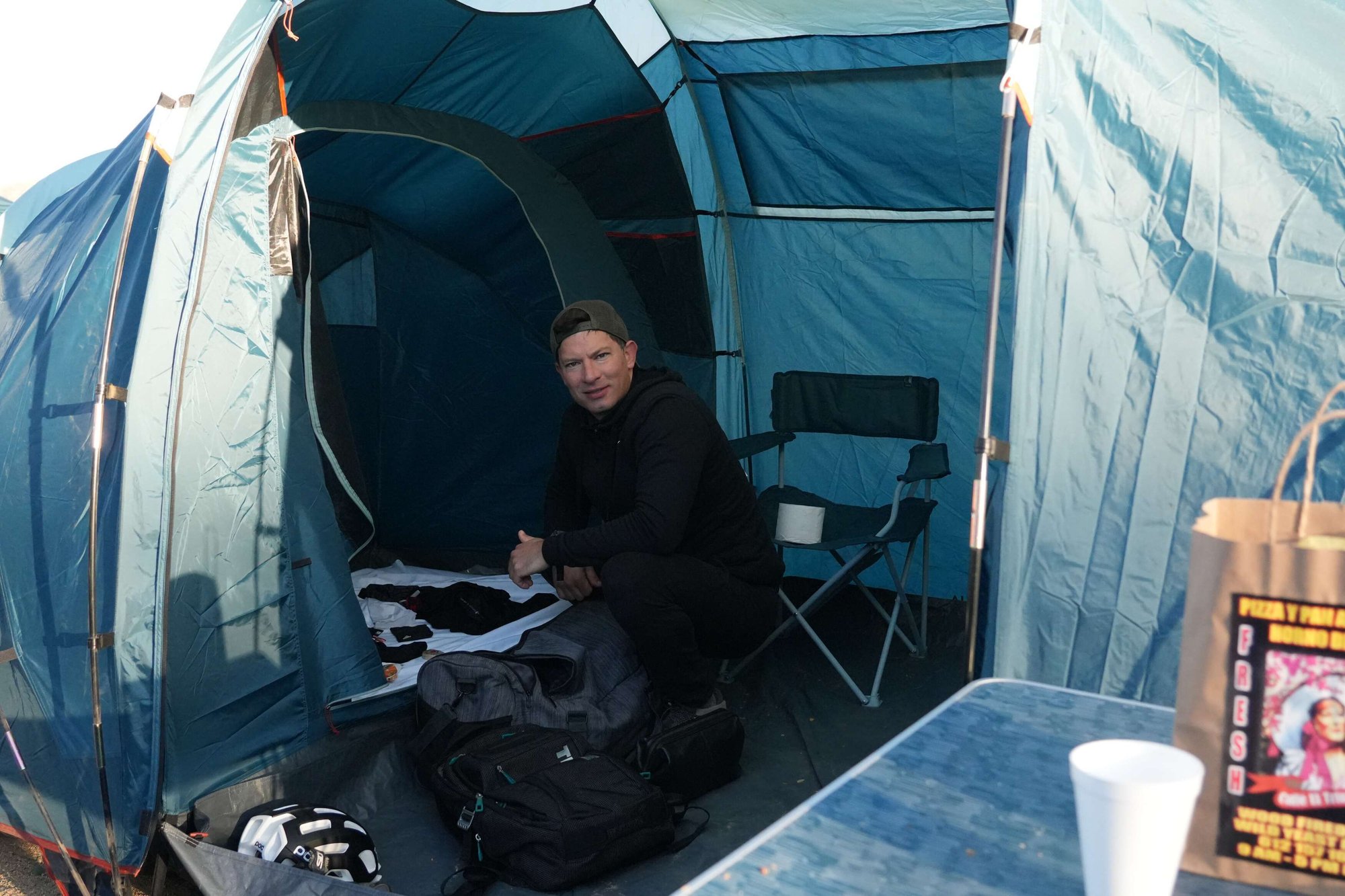
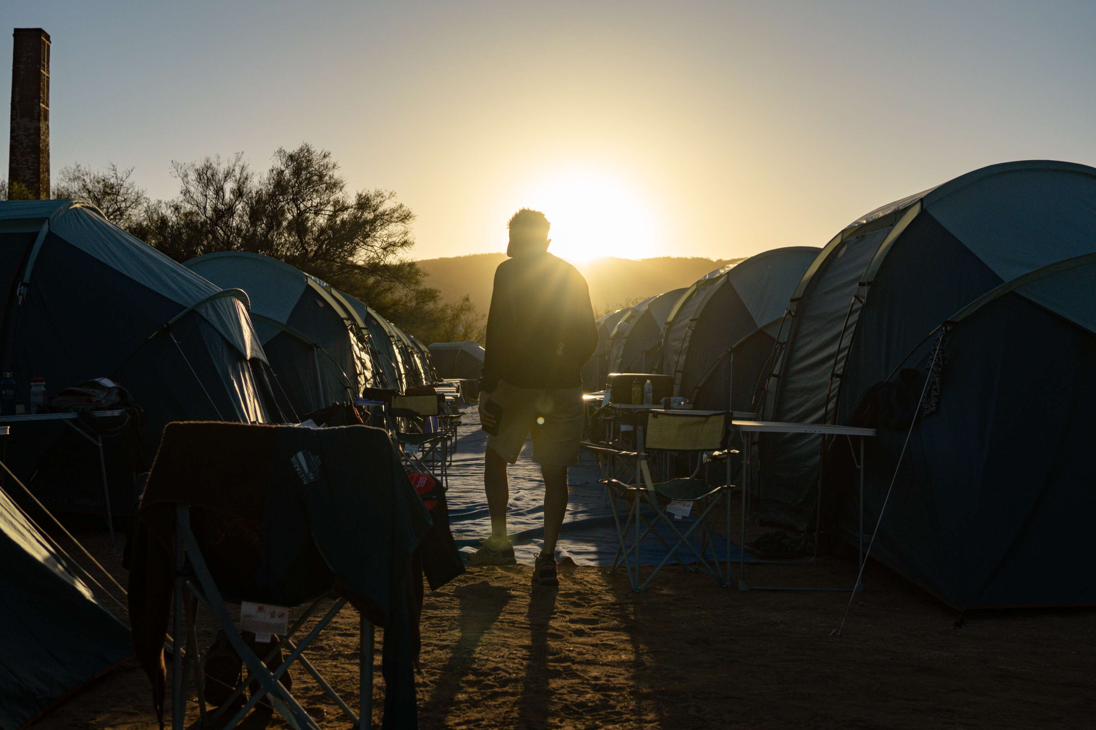
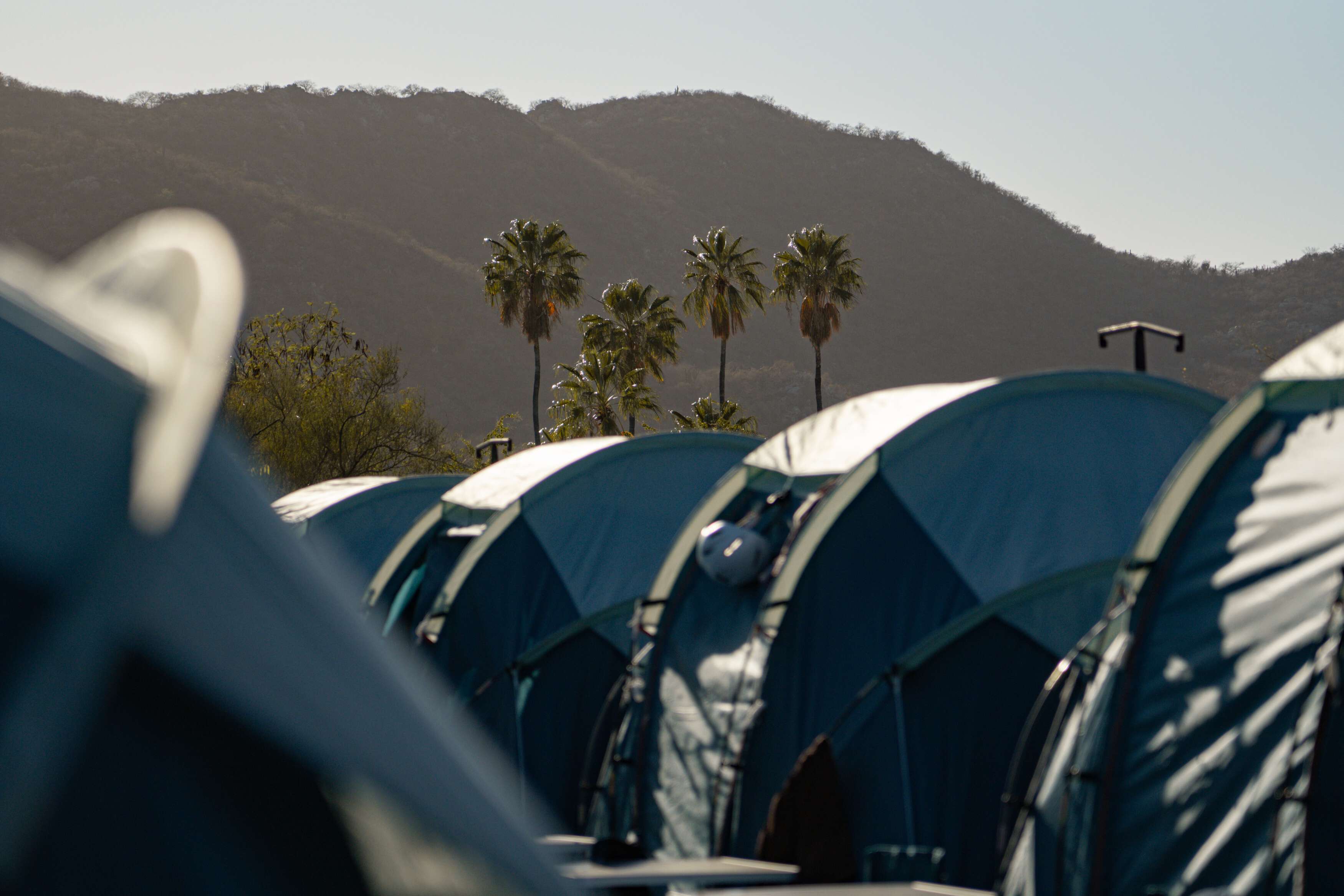
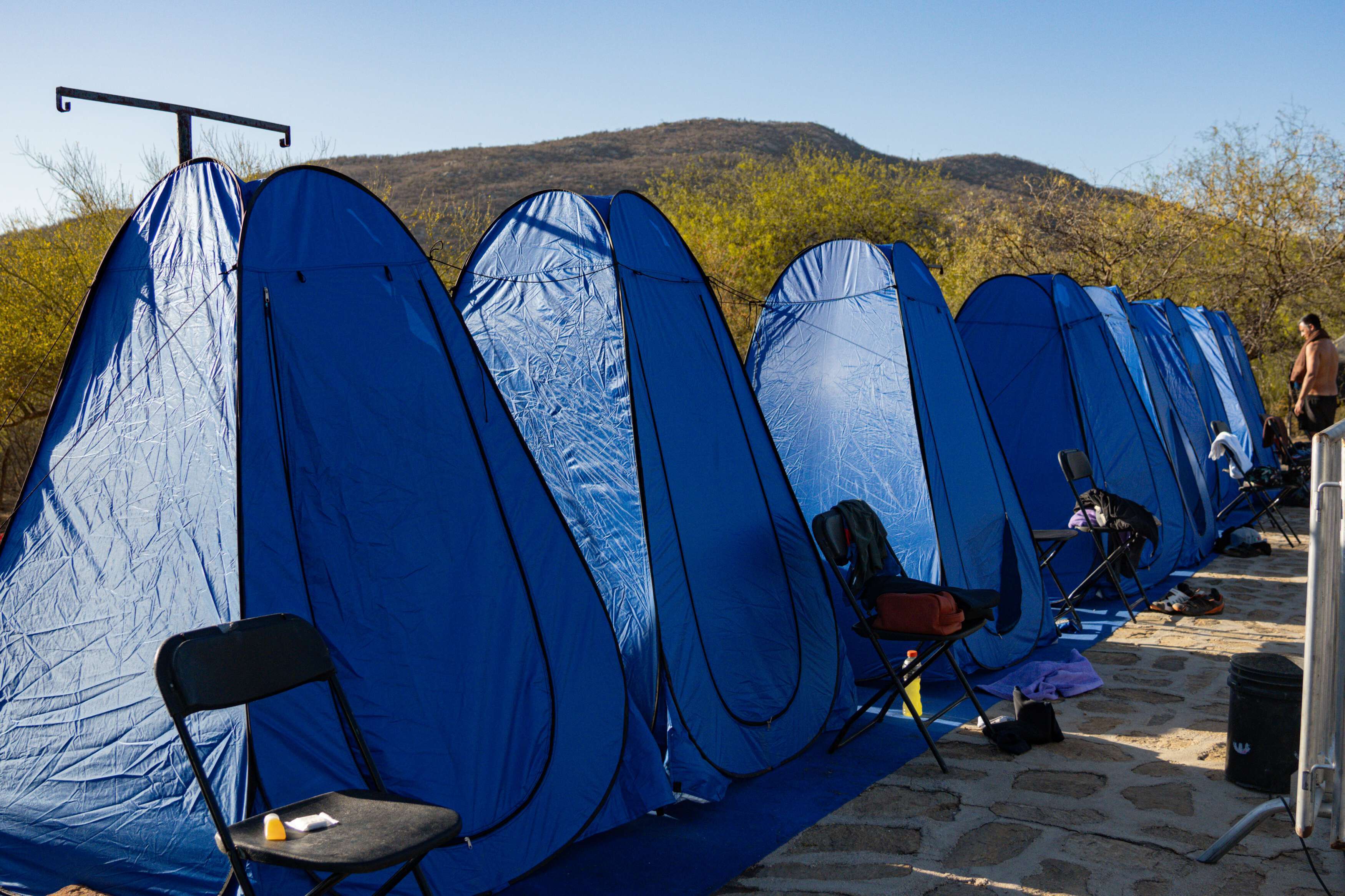
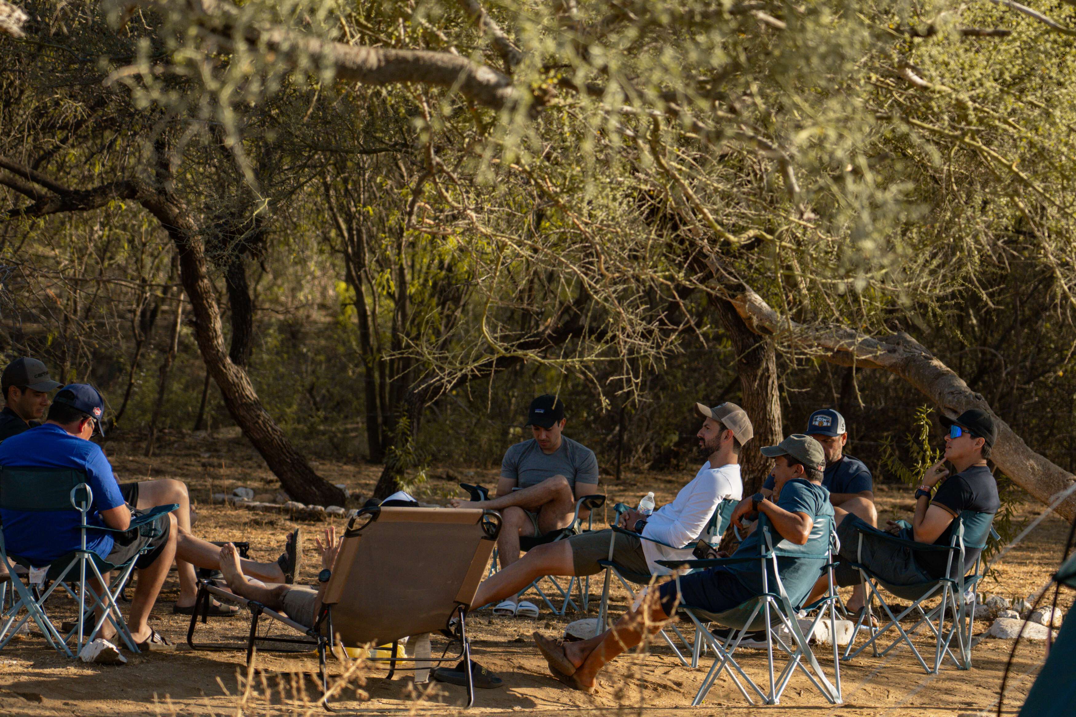
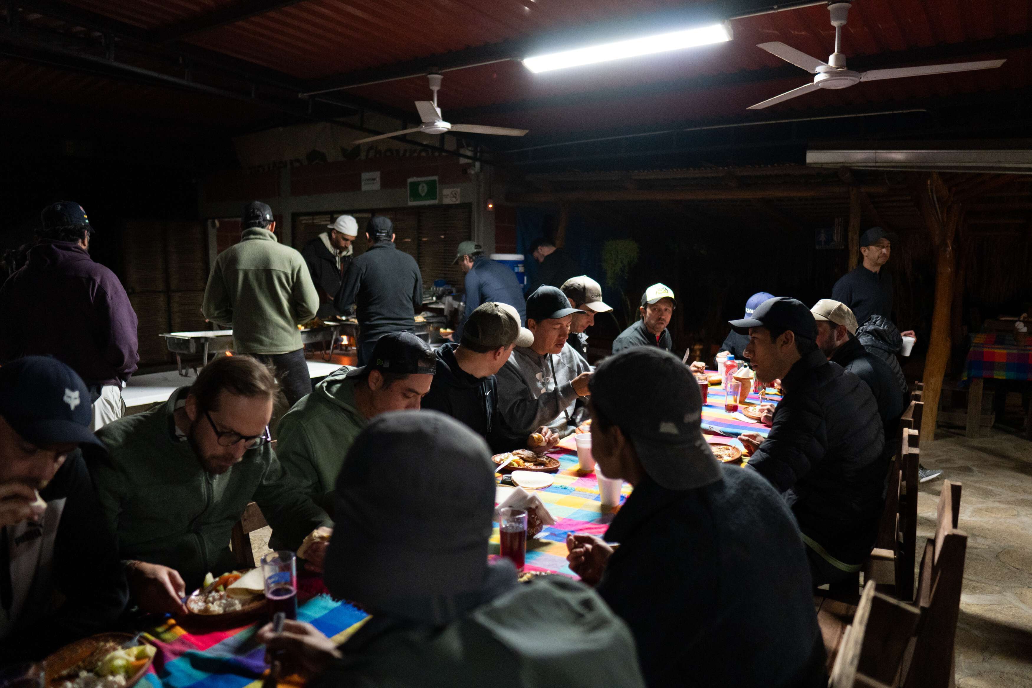
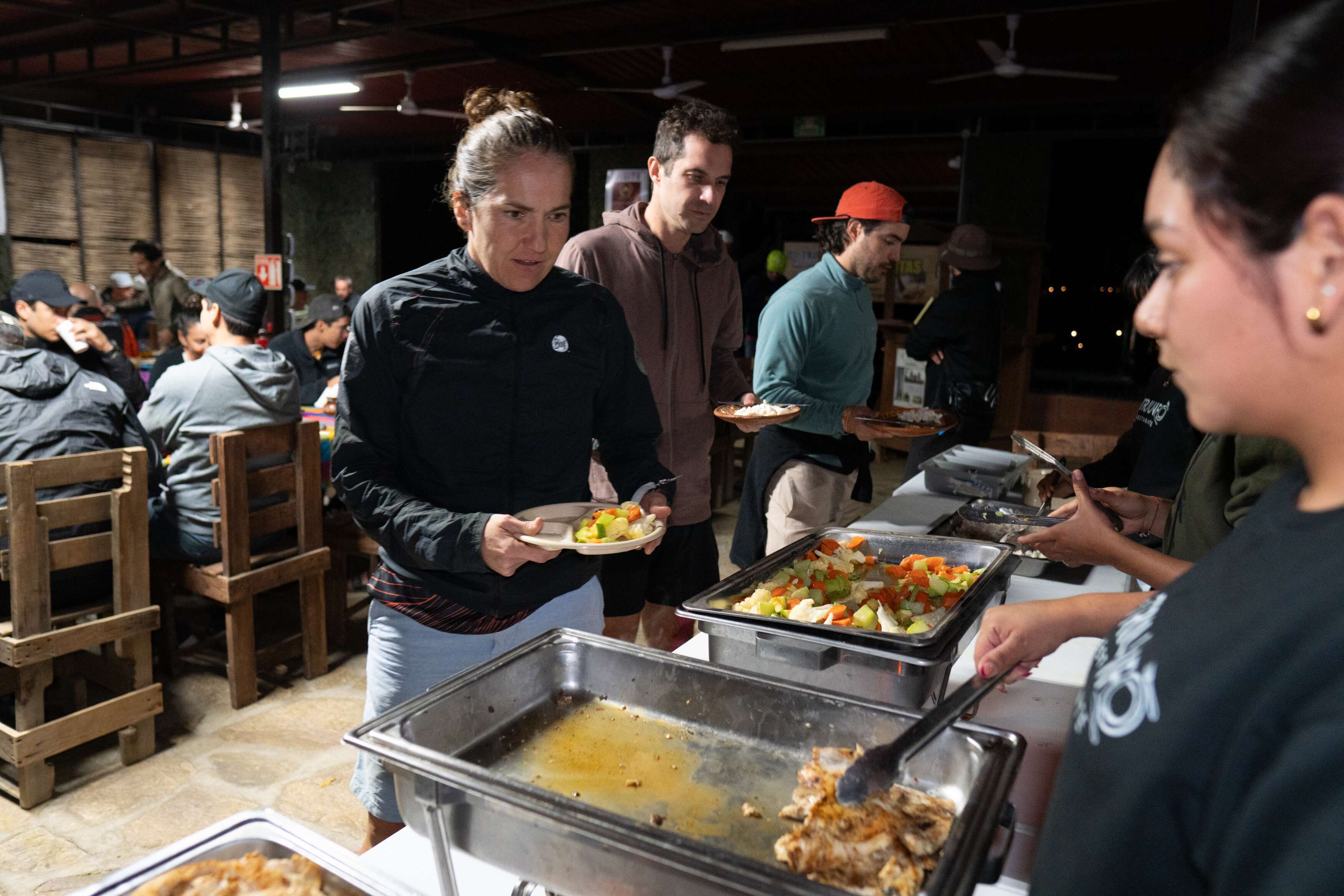
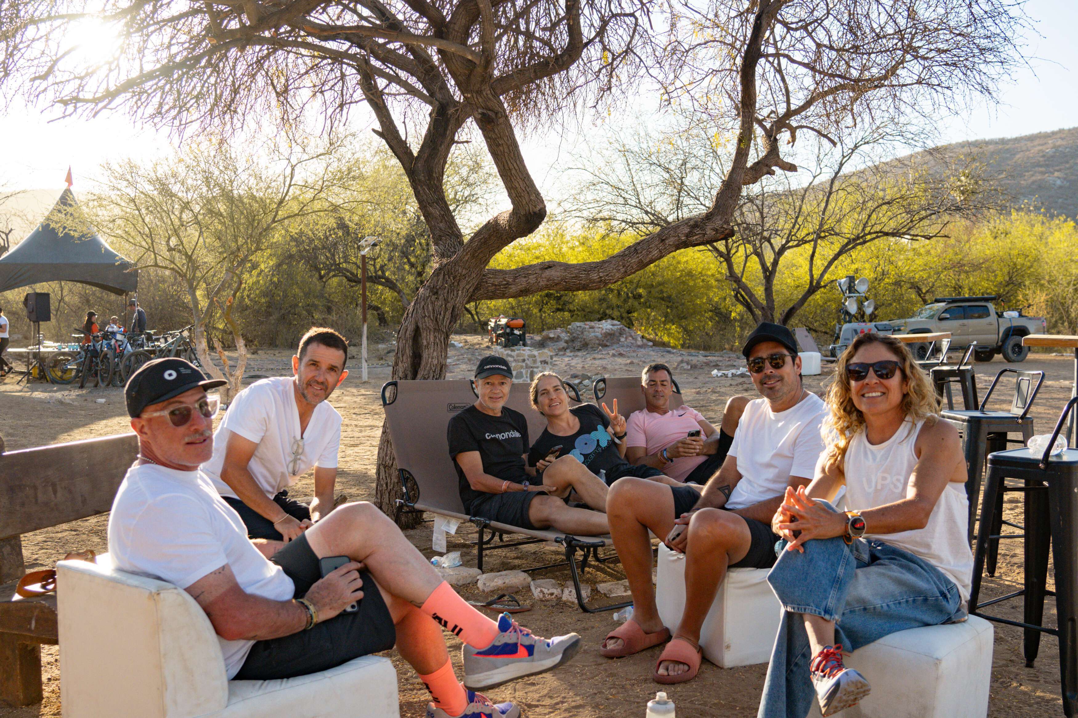
We rest under stars.
We rise with the sun.
Recovery, comfort, and community under the stars.
After each stage, riders will unwind at one of our two fully equipped basecamps:
El Triunfo (after Stage 1) and El Sargento (after Stage 2).
These desert oases are designed for comfort, recovery, and connection.
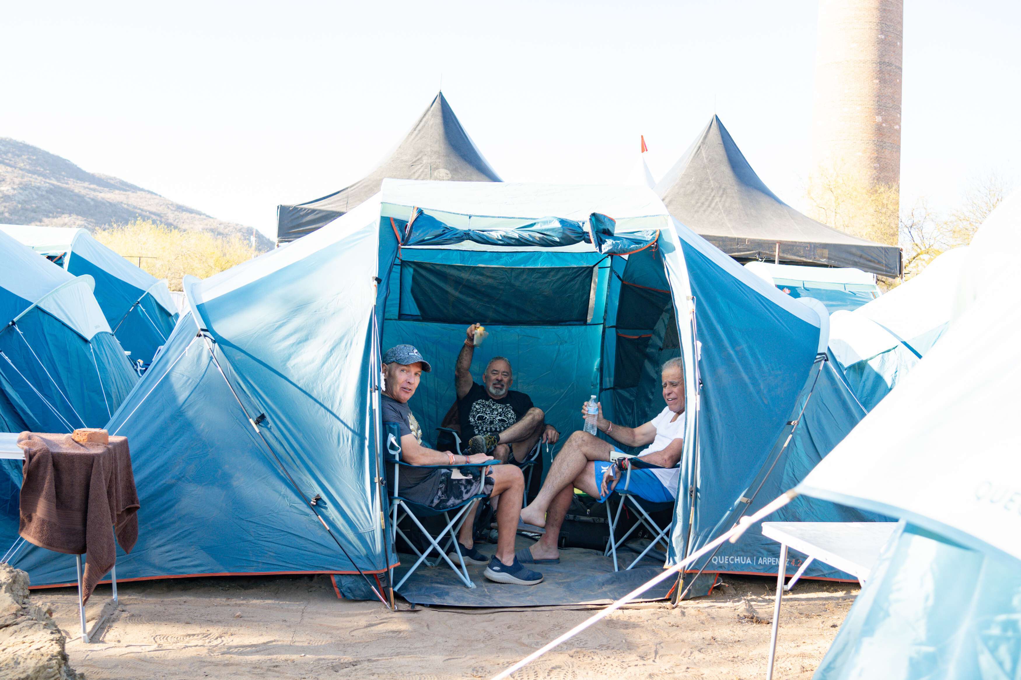
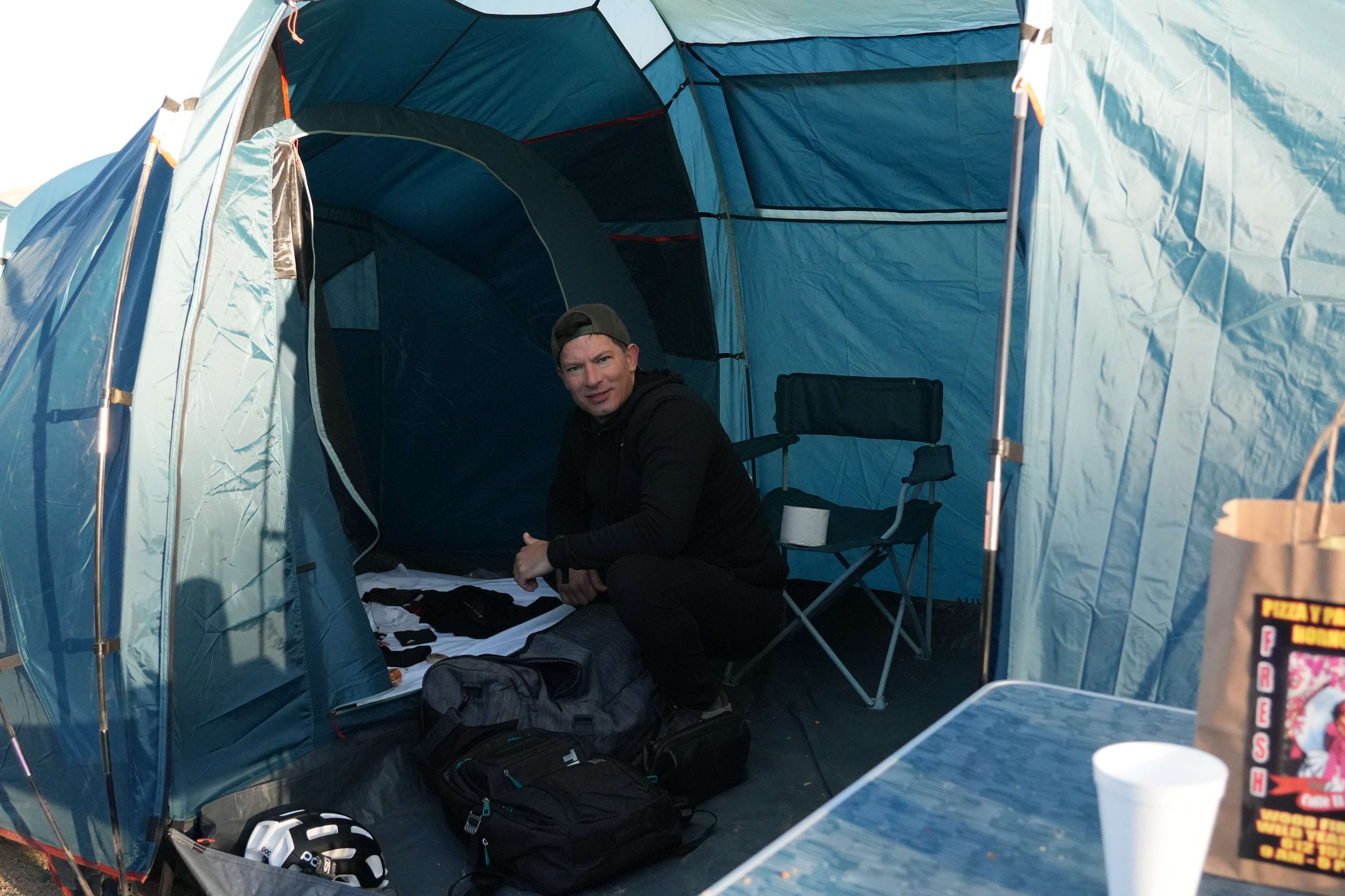
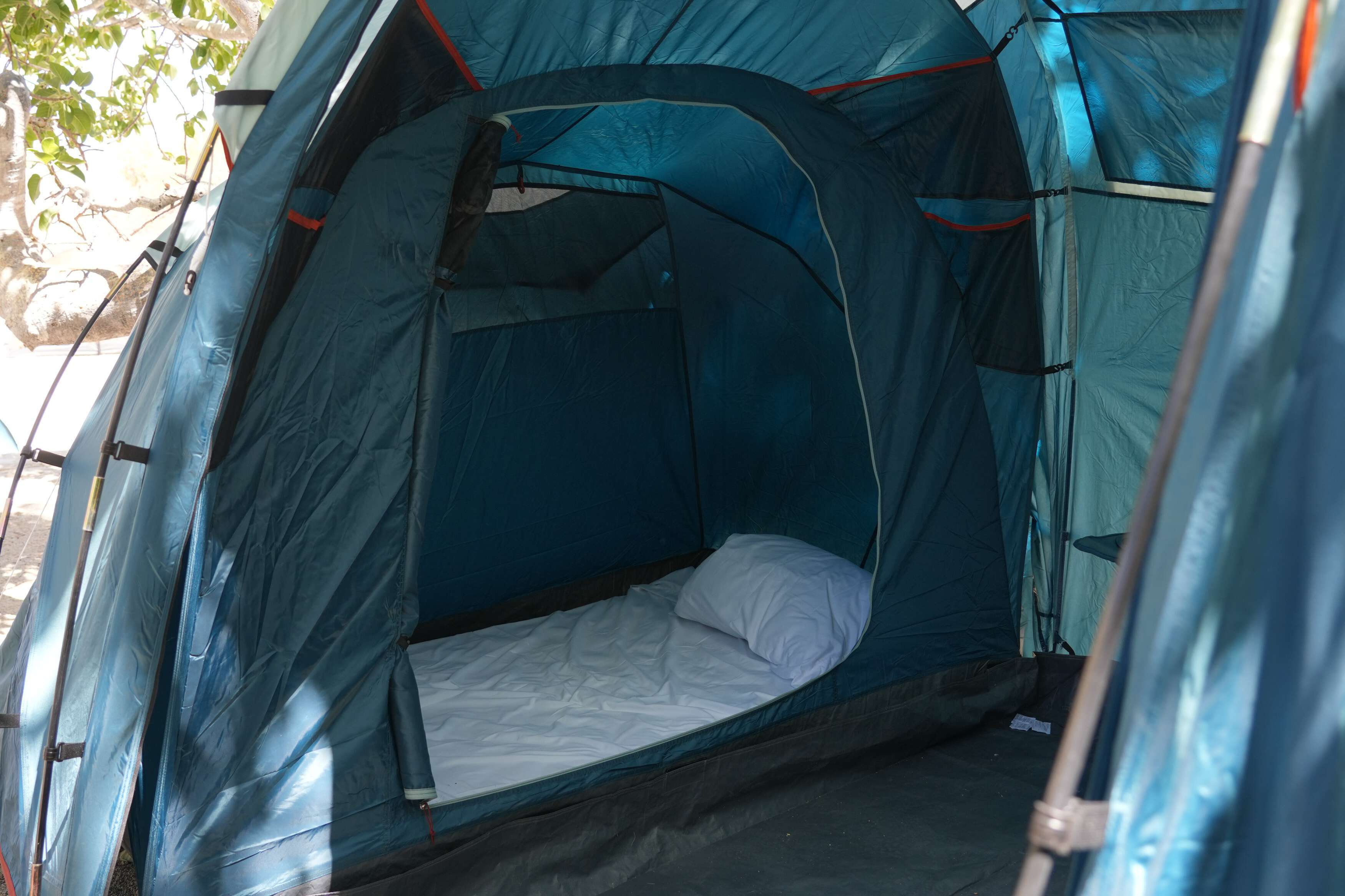
High-Quality Accommodation
✔ Spacious tents designed for desert temperatures (day & night)
✔ Equipped with mattress, fresh sheets, pillow, and blanket
✔ Camp kit included: towel, pillow, sleep mask, earplugs
Showers & Restrooms
✔ Private portable showers with hot water
✔ Modern bathroom facilities
✔ Fresh water pressure with handheld-style sprayers
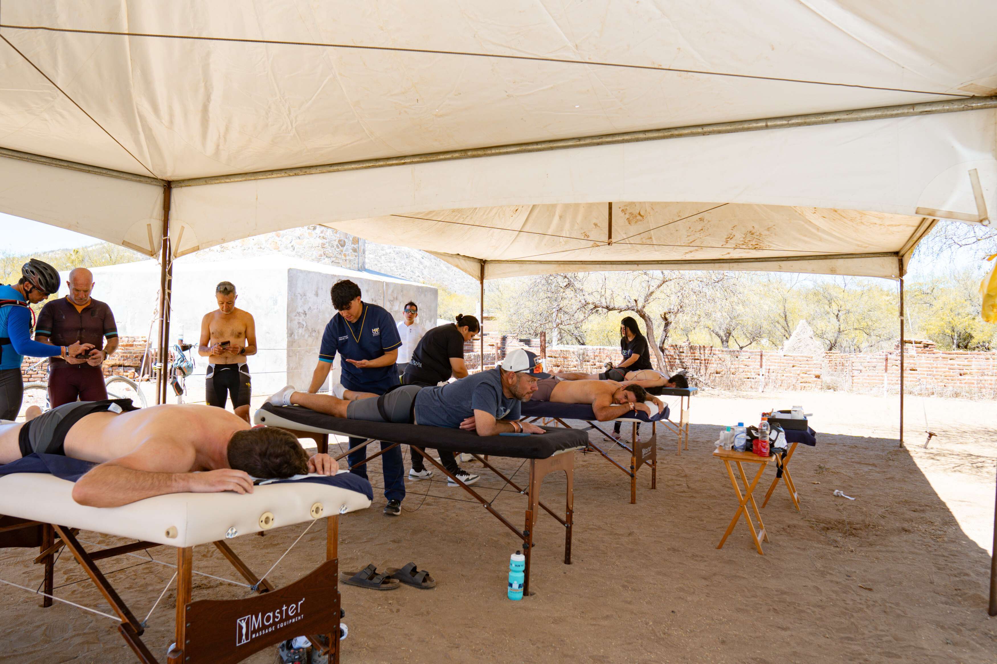
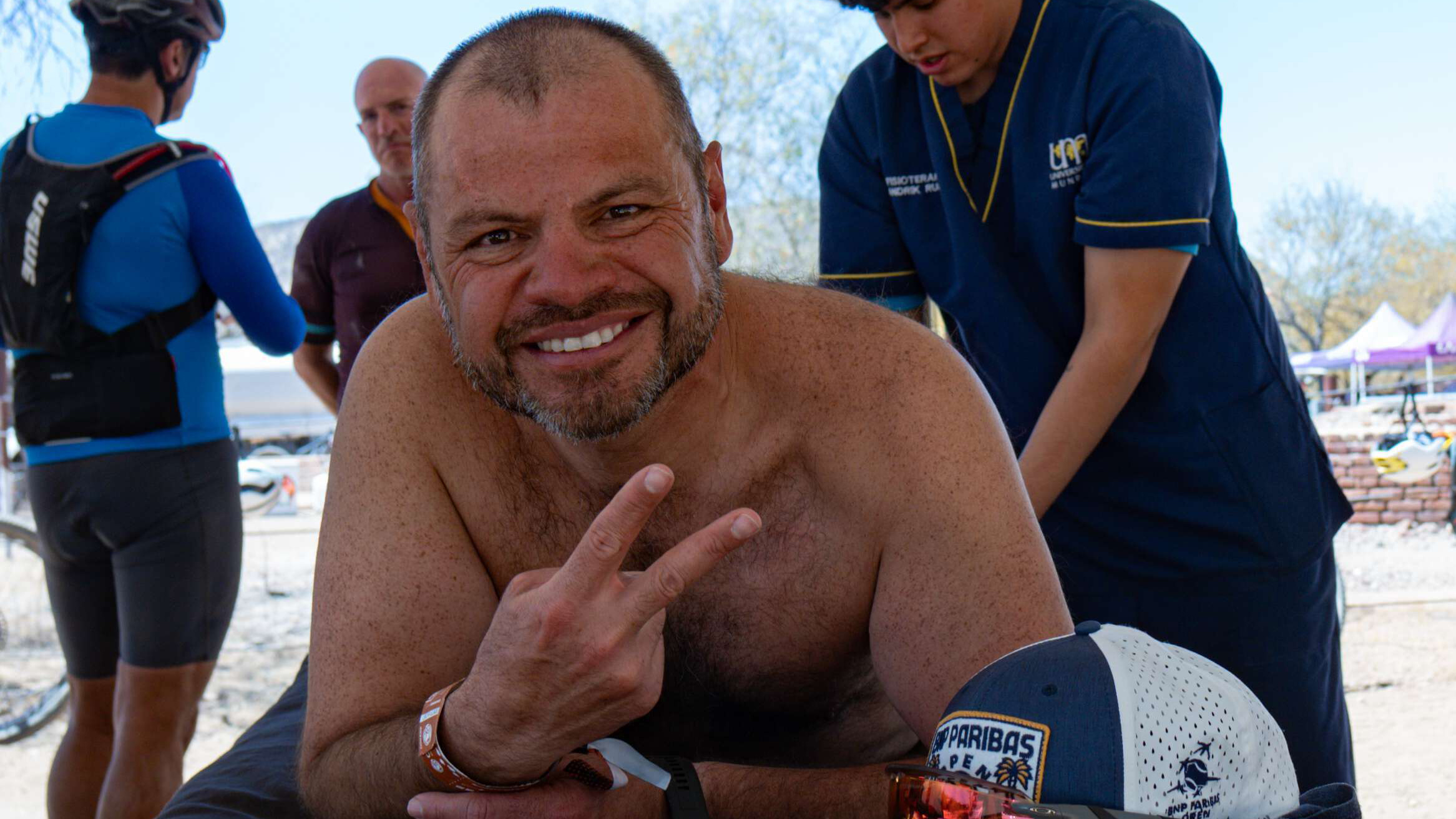
Premium Massage & Ice Bath Zone
✔ 7-minute recovery massage after each stage
✔ For Premium riders: extended 15-minute sessions, no wait, pro therapists
✔ Ice bath stations to reduce muscle inflammation
Evening Community & Relaxation
✔ Post-stage meals prepared by a sports nutrition chef from La Paz (TBD menu)
✔ Dining tents and shaded eating zones
✔ Chill-out areas to rest, connect, or enjoy the sunset
✔ Bonfire gatherings, live music and storytelling
✔ Connect with riders & enjoy the Baja night sky
Amenities
✔ Luggage transport between camps
✔ Power stations with USB chargers
✔ Wi-Fi access in communal areas (signal may vary)
✔ Daily hydration & snack stations
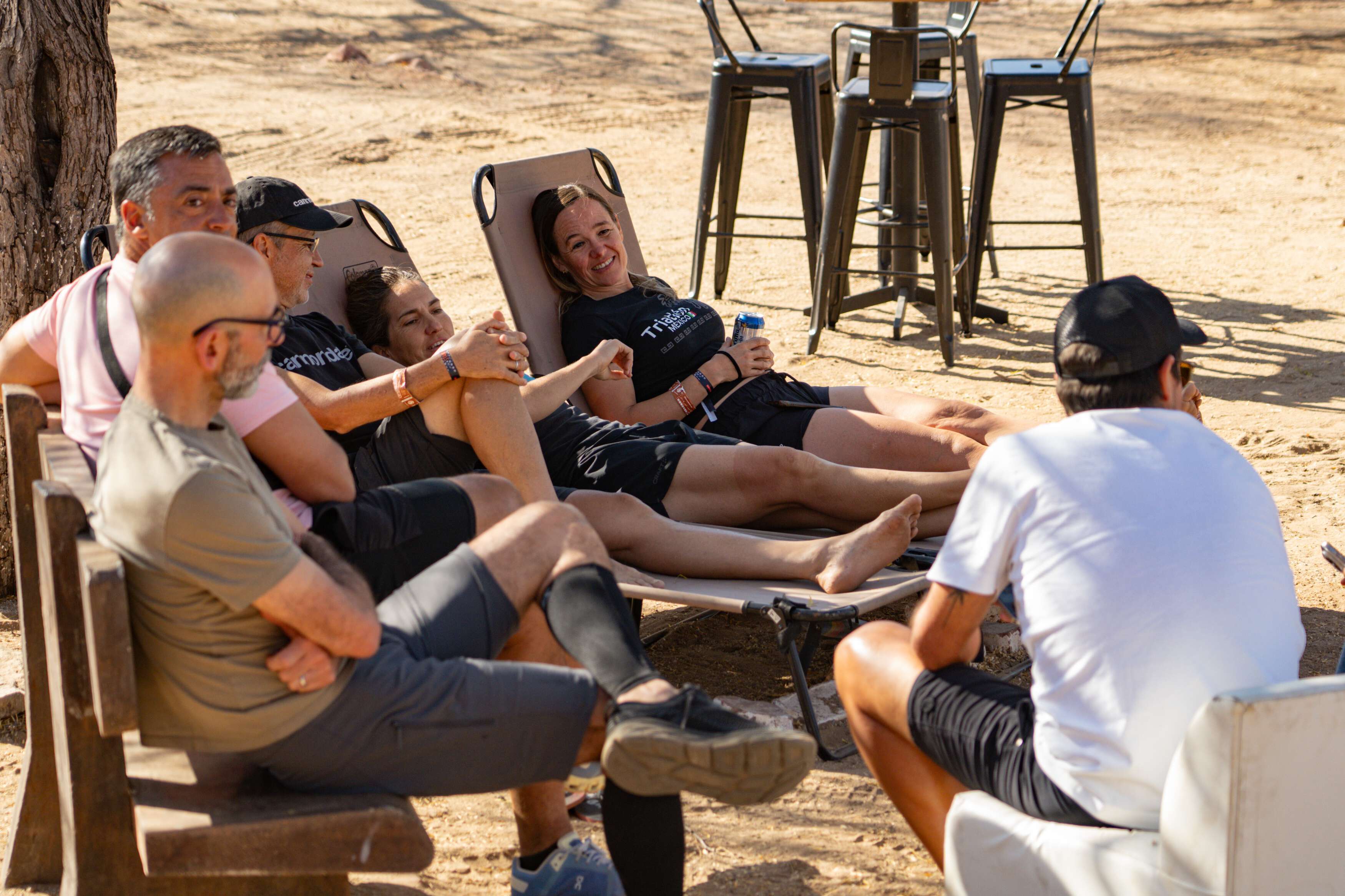
Shared Experience
✔ The camps are more than just places to rest — they’re where the Nomadix community comes alive.
✔ Swap stories, recover together, and share the energy of the journey as the sun sets over Baja.